
2.2.1 Rapid assessment / reconnaissance
Scattered across the Pacific are numerous islands where there are limited or no data is available on seabird populations. Obtaining data on these islands is important for global conservation, and rapid assessments provide a quick way of obtaining a snapshot on species composition and distribution in time. These can be exciting surveys, as you never know what you may find. They can also represent daunting tasks, as surveying seabirds requires a good working knowledge of the species likely to be present and what their breeding phenology is. So, how do you deal with what is effectively a blank slate?
- Do your homework. Rapid assessments of remote and unexplored islands can require huge amounts of planning and logistics, so you want to maximise your chances that you will obtain the best data possible. Undertake a literature search to find out what has been done in the area, be they scientific papers, technical reports or even old trip reports. Assess what species are potentially present in the area (although of course don’t limit yourself to these, think outside the box), and whether there are any data is available on their breeding phenology from nearby areas. Clearly you don’t want to be conducting your surveys when key species are away at sea in wintering grounds, for example.
- Consider appropriate methodologies. If you are searching for nocturnal species, acoustic sensors are an incredibly useful tool. These can be left in appropriate areas for several months and the data then analysed to see what species are vocalising (see Sections 2.1.3 and 2.1.4). This is a particularly useful technique for rare nocturnal species, as these can easily be missed over the course of a few nights of surveys using observers. If the area is small, and there are ground nesting species present, using drones may give you a quick and efficient way of cataloguing and counting everything that is present (see Section 2.2.7). On-the-ground assessments are also incredibly useful, with surveyors covering as much ground as possible, and as many different types of habitats as exist on the island to look for seabird sign. Shoreline counts at strategic points will provide data on birds foraging in the near shore areas, or nocturnal species amassing in the latter part of the day in preparation for flying into colonies. Likewise, nocturnal counts using thermal or night vision will help provide additional data on birds coming in under the cover of darkness. If you have access to a boat, circumnavigating small islands increases your chances of obtaining a full assessment of seabird activity in the region (although remember that just because a seabird is foraging around an island, it does not necessarily mean it is breeding there).
- Survey at different times of the day. Activity patterns vary dramatically between species, so make sure you conduct surveys in different periods of the day. Diurnal colony nesting species may depart early in the morning for foraging areas, meaning that counts in the middle of the day may underestimate colony sizes. Nocturnal species are, as the name suggests, far out at sea during the day and only come in after dark. Furthermore, different species may have different vocalization periods during the night – a species that is vocal after dusk may be entirely silent before dawn, while the reverse may be true for another species in the area. Shearwaters are well known to be active callers pre-dawn as they depart to sea.
- Multiple visits. While it may not always be possible, it is worth undertaking several visits to an area at different times of the year. As breeding seasons are often not in sync between different species, this will increase your chances of obtaining a full assessment of all the seabirds breeding in the area.
- Opportunistic surveys. There are many places where seabirds (e.g., White-tailed Tropicbirds, White Terns, Brown Noddies) breed well inland and away from the coast. These are quite often in steep-walled forest valleys with challenging access. These birds are mostly tree nesters, making getting accurate estimates of numbers extremely difficult. If breeding sites like this are located they should be recorded, if possible, from a vantage point that allows a clear view where the birds are likely breeding. For example, above Apia, Samoa there are two valleys where the three species above are breeding, and it is possible from a public lookout at one (Fig. 74) and café deck at another to work out where most of the activity is focussed and plotted in GIS accordingly.
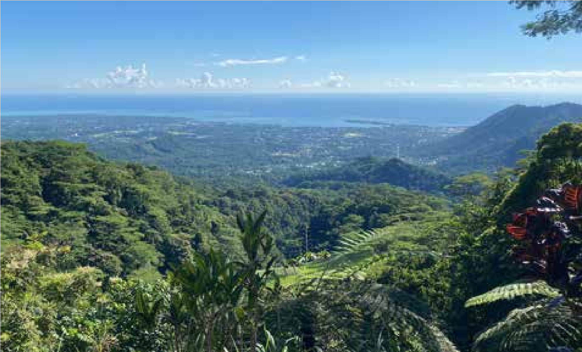
Figure 74. View from Malololelei, looking down the forest escarpment, ridges and valleys that drop away steeply to Apia city. Photo: Chris Gaskin.
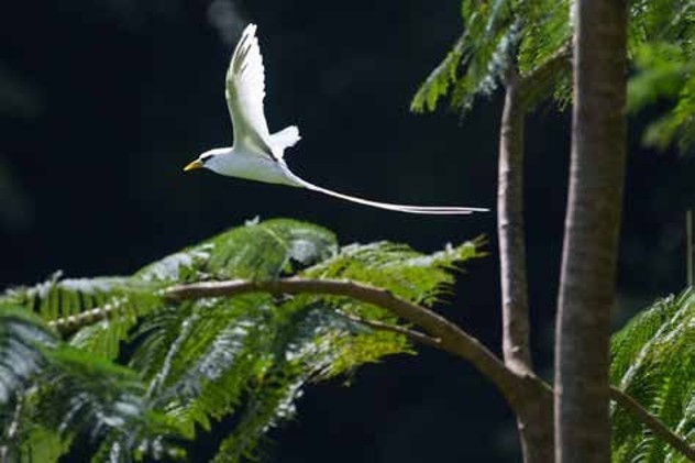
Figure 75. White-tailed Tropicbird over land, through trees, Malololelei, Samoa. Photo: Edin Whitehead.
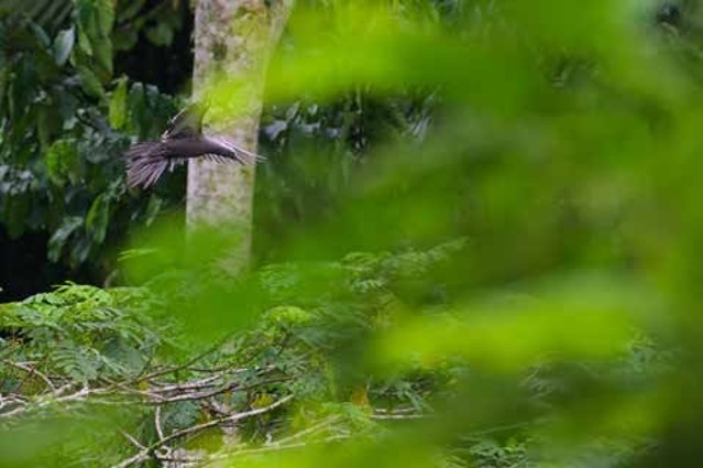
Figure 76. Brown Noddy flying to roost, Tiapapata, Samoa. Photo: Edin Whitehead.